Louisiana’s commercial fishermen soon will have an app to help guide them during the rough waters of hurricane season.
The WAVE app is project underwritten by a $341.330 grant by the New Projects Fund of LSU’s Coastal Sustainability Studio. Bureaucratically titled “Waterway Hurricane Evacuation Smartphone App for Commercial Fishing Vessels, the app is for fisherman to use as a reference in deciding which way to head when a hurricane is forecast.
Coordinator Lauren Land said to qualify for such funding the project must combine researchers from three academic departments, incorporate a design element and focus an issue regarding coastal Louisiana.
The WAVE team is led by Land, who is also the sustainability coordinator for Louisiana Sea Grant. Land said her main priority is to spread the news about the app and generate buzz.
“My role is really to keep the project moving forward and to help make connections with some external groups.”
Principal investigator Mark Aubanel acts as a developer for the project and brings a knowledge of boating to the team. Hal Needham is the program manager for Southern Climate Impacts Planning Program and created the storm surge database utilized by the app. The group also includes IT consultant Carola Kaiser and Alexa Andrews, the latter being the project manager at the Stephenson Disaster Management Institute.
Danny Holmes rounds out the team as the app’s developer. Holmes teaches music technology and theory at Southern University and said he likes to create mobile music apps in his spare time.
The group holds monthly meetings, sometimes more if necessary, to discuss the project’s progress and timeline.
Land, who has worked on projects involving Vermilion Bay, said the idea for the project came about after realizing people on land have an assortment of outlets that educate about emergencies, but the same doesn’t exist for water and boats, especially for commercial fishermen.
There is also an issue regarding public and private land along the state’s coast. Noted Land: ‘When a vessel is stranded on private property, there is a huge red tape process for a fisherman to reclaim ownership of his vessel.”
The navigation option will update users on where they are. Unlike a car, whose location has to be constantly updated to navigate, Holmes said boats on the water won’t need constant updating. The app will limit how often users’ locations are updated, ultimately saving battery life.
Other options include weather and forecast data like a regular weather app, but a separate section for weather and water conditions will be available, Holmes said. It is in this section that emergency information will be relayed, and users can map overlays of public and private land along with evacuation routes.
A separate section has simulated hurricane routes that use historical data to allow users to see what route future hurricanes might take.
Land said the group is working with the Louisiana Department of Wildlife and Fisheries to incorporate datasets like oyster lease boundaries, shrimp fishery closures and public sea boundary.
All the data for the app potentially will be hosted on Wildlife and Fisheries server, Holmes said. This will allow the app to use data from Needham’s storm surge database and the Coastal Emergency Risk Assessment’s data to create a comprehensive app that can be used across the entire Gulf of Mexico.
The group will present its current progress on the project March 4 to CSS, and Land said she is confident the studio will approved of the app’s progress. The team also plans to attend Dock Day in Delcambre, Louisiana, which will allow fishermen to test a beta version of the app and provide feedback.
“If fishermen get in the habit of using [the app], opening it up and seeing its features, then when there is an event, they’ll use the emergency functions,” Land said.
When the July deadline approaches, the group will have written a report on the project, and Holmes said the app will be in a state where it can be used for emergencies. However, Aubanel said there is no way of knowing how well the app works until there’s a storm, and work on the app will continue past the project deadline.
“I know that it will continue beyond July 31,” Land said. “We’re already having conversations and exploring opportunities to figure out a long term sustainability plan for it.”
LSU researchers develop app to guide fisherman through rough waters
February 25, 2015
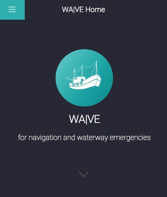
A screenshot of the WAVE app displays the app’s home screen.
More to Discover


