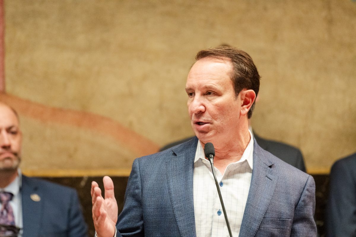
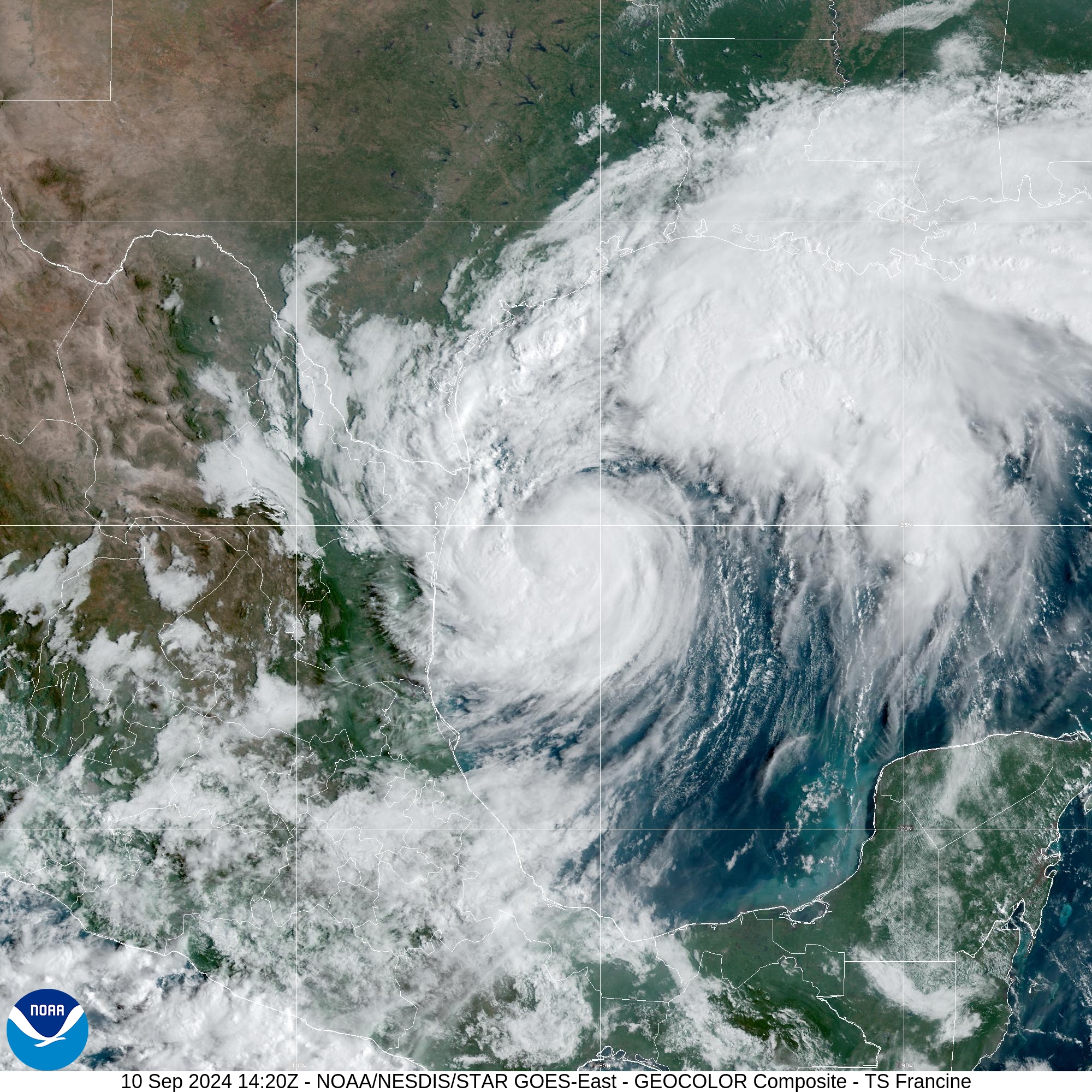
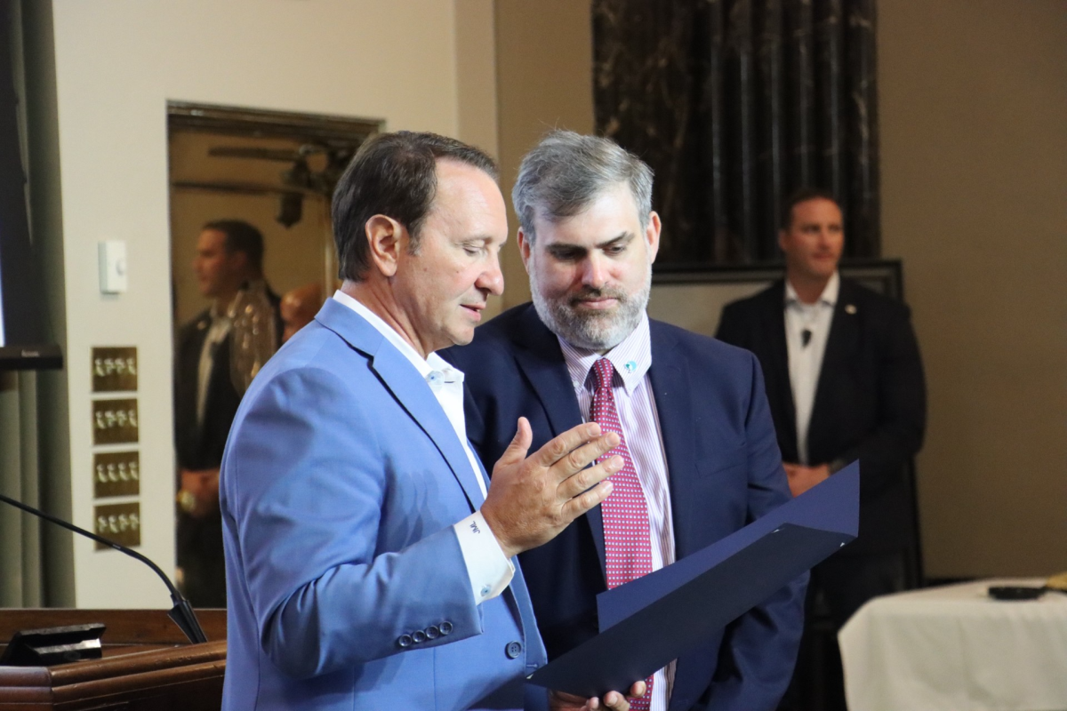
Gov. Jeff Landry has declared a state of emergency anticipating Tropical Storm Francine’s expected landfall as a hurricane sometime Wednesday.
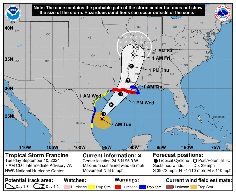
The National Hurricane Center in Miami forecasts Tuesday morning that Francine will become a Category 1 hurricane by the end of the day and eventually make landfall in southwestern or south-central Louisiana as a Category 2.
As per a post on X (formerly Twitter) from LSU Monday evening, the university was still meeting for classes Tuesday. As of a Tuesday morning message broadcast, campus would be closed but classes were slated to meet online.
A now outdated Monday afternoon message broadcast showed the university had no apparent plans to cancel Wednesday or Thursday classes but was closely monitoring the situation, as per a message broadcast by the university’s Office of Communications and University Relations Monday evening.
The Baton Rouge area is predicted to be in the storm’s path. Some experts believe the storm will rapidly degenerate upon landfall. Tropical storm conditions are expected by the NHC to set in early Wednesday, as per a 4:00 a.m. Tuesday discussion.
On-campus residence halls will remain open, the message said. Food will be provided to the students until the storm’s thick when they are to stay sheltered in place; therefore the university advises students to stock up three days worth of food, water and supplies in the meantime.
LSU’s Bus routes were canceled on Wednesday and Thursday. A message from Parking and Transportation Services said routes may need further adjustment because of the weather,
“We want everyone in the state to be cautious and vigilant, we don’t want to downplay this event,” Landry said at a Monday evening press conference. “But we also don’t want people to panic.”
The public should plan ahead of Francine’s arrival and listen to local officials, Landry said. The Governor’s Office of Homeland Security and Emergency Preparedness has been monitoring the situation for the past eight days, he continued. Louisiana state officials have notified the Federal Emergency Management Agency and have been working alongside it.
Warnings issued
The NHS said there is a danger of “life-threatening” storm surge, predicted to be as high as 10 feet, along much of Louisiana’s Gulf Coast and portions of upper Texas.
Francine is expected to bring up to 12 inches of rainfall locally, creating a risk of flash flooding in much of south-central Louisiana and Mississippi. Moderate flood warnings are in place for most of all of south Louisiana.
In non-coastal parts of Louisiana and neighboring states, tornadoes are possible.
Baton Rouge is under a tropical storm watch until further notice. A flood warning is in place through Thursday.
Some coastal municipalities have declared mandatory evacuations, Grand Isle, Lafitte, and Barataria.
Many schools in the greater Baton Rouge and river parish area have also started closing. Southern University is closing at 1 p.m. Tuesday with plans to reopen Thursday.
This story was updated to be accurate following the university’s closing of campus and going to remote learning on Wednesday and Thursday.


