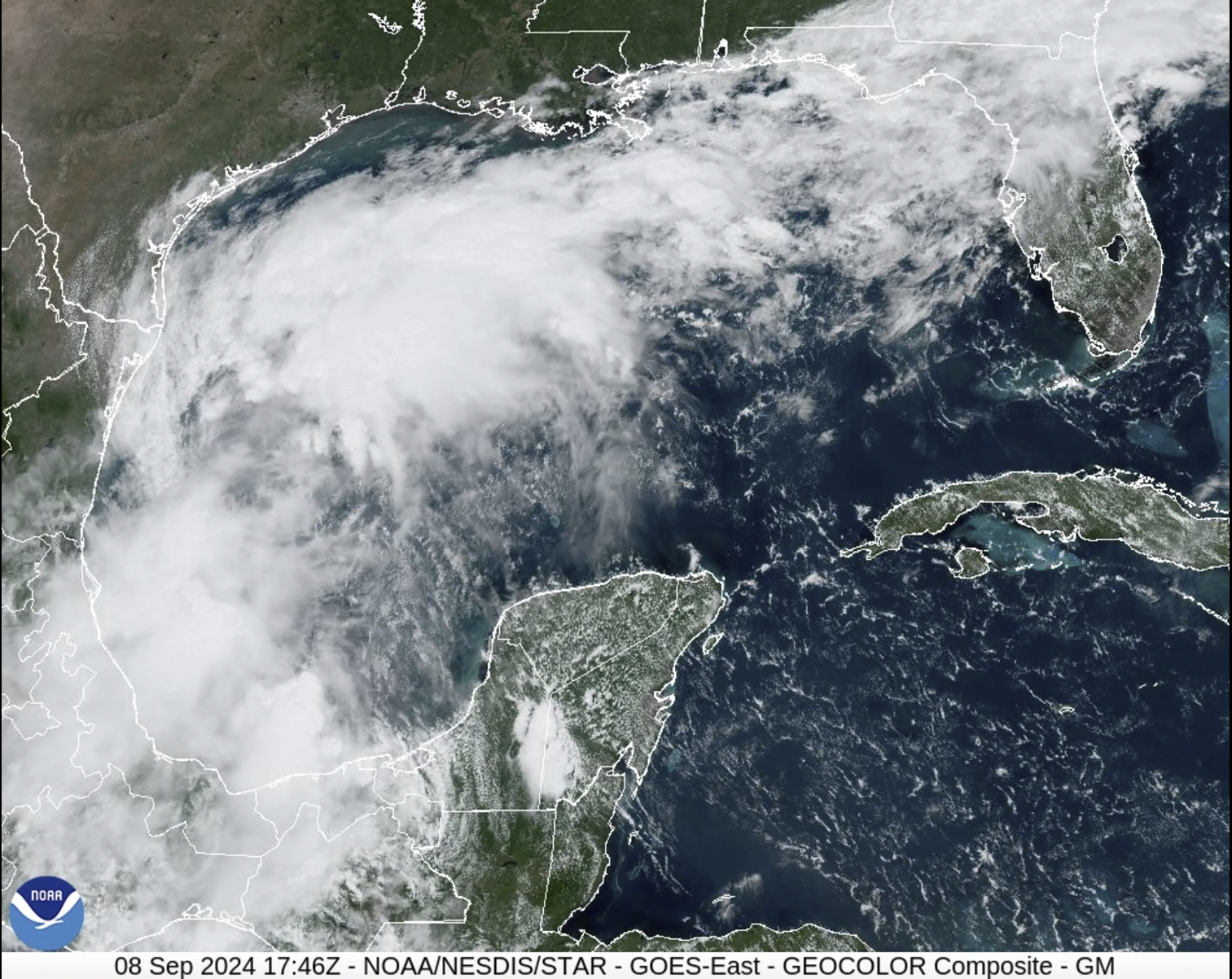
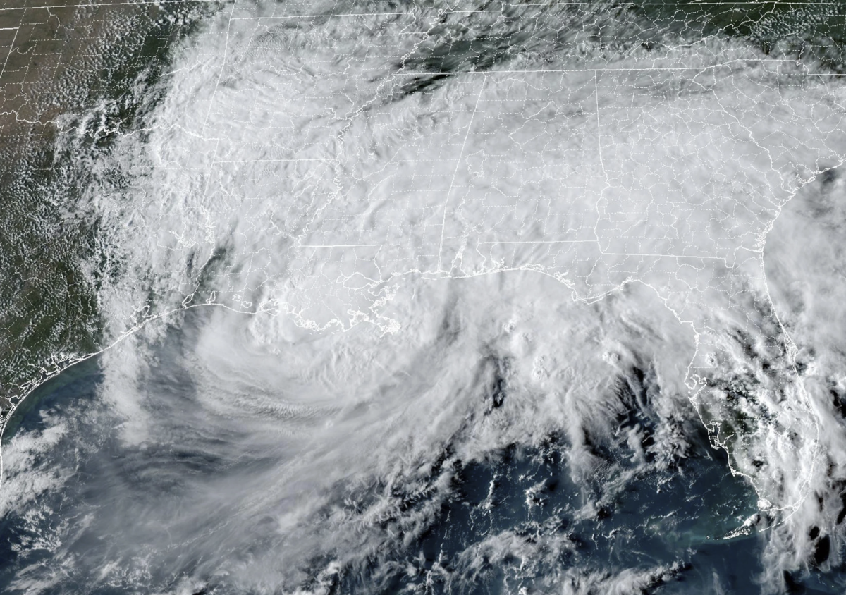
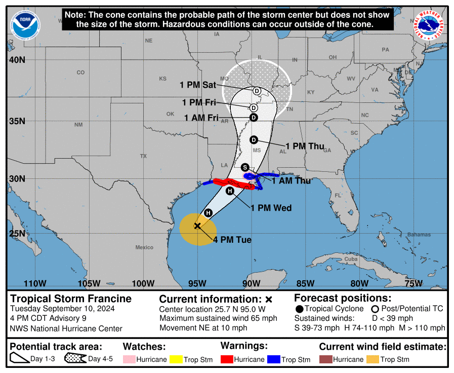
After a weekend of arguably perfect weather and a 42-21 victory over Nicholls State Football, the National Hurricane Center in Miami said Monday morning a storm is brewing in the Gulf and is expected to make landfall as a hurricane in southwestern-southcentral Louisiana.
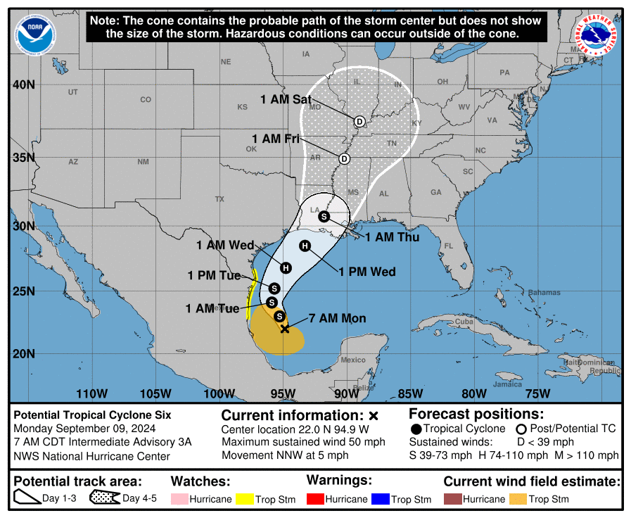
As of 10 a.m., the storm, called Tropical Storm Francine, is building speed in the Gulf of Mexico miles from the Mexican coast. It is expected to curve eastward and make landfall on the Louisiana coast sometime Wednesday evening.
Though it is too early to predict an exact path or the degree of damage, current predictions show that by the time it reaches Baton Rouge, the hurricane will have dissipated to a tropical storm.
The entire Louisiana coast is under a storm surge watch, with a wide region of Louisiana’s central coast with a likelihood of “life threatening” surge conditions. Heavy rainfall is expected over nearly the entire state and the Texas and Mississippi coast. Much of south and parts of central Louisiana are expected to be at moderate risk of flash floods Thursday morning.
“I do think that we can expect tropical storm winds and a lot of rain,” said Jill Trepanier, professor and department chair of geography and anthropology in a statement to the Reveille. “But I do not expect it to linger long.”
She said to remember Baton Rouge was not on the Louisiana coast and that it’ll likely be a couple of days before the stores start to get wild and run out of supplies. Liquor usually runs out before bread, she said. She also recommends getting gas well before storms land but specifically not to drive when the storm hits. And flashlights and batteries are also a must.
As of 10:22 a.m., LSU has conducted a test of its emergency notification system, likely in preparation for the storm.
This is a developing story.


