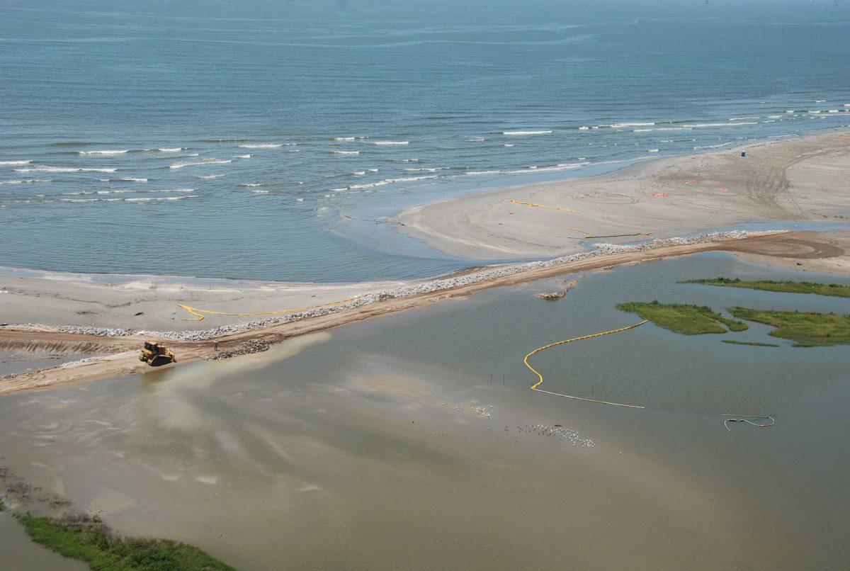
Louisiana’s coast accounts for billions of dollars of its economy. However, there has been no comprehensive guide showing potential hazards near Louisiana’s coast until now. With the new Louisiana Coastal Geohazards Atlas, the Louisiana Geological Survey hopes to create that guide.
According to mississippiriverdelta.org, Louisiana’s commercial fishing industry generates $1.92 billion annually, while recreational fishing generates an additional $1.96 billion. Additionally, Louisiana is the No. 1 producer of crude oil in the country.
The LGS and the New Orleans Geological Society teamed up to lead development of the Louisiana Coastal Geohazards Atlas.
The creation of this atlas is especially important for Louisiana because of all the dynamic processes its coast undergoes and its dependence on coastal areas for energy resources. The focus of the atlas will be landforms developed in a variety of underlying geologic settings and which are affected by faulting, subsidence and flooding.
“While much work has been done to better understand these processes, the results have not been compiled and combined in a format that brings them together to portray their influences on the coastal plain of south Louisiana,” said LGS Acting Director Chip Groat in a press release. “The atlas will serve as a valuable resource to our state and region.”
Groat serves as the administrator of the project, while Assistant Director emeritus of the LGS John E. Johnston III will serve as editor of the project and coordinator of participants.
Although a lot of the project focuses on compiling data that has already been created, there are still things for which data has not been collected.
“There’s a lot of data that’s just not there,” Johnston said. “We don’t have real accurate data on faults yet. We don’t have real accurate data on a lot of different things, and this is an attempt to try to put that all together.”
The map provided by the atlas will provide information useful to the government, private sector, and citizens alike.
“What we’re going to be looking at mapping is gonna be things like flooding and storm surge for coastal parishes, soil issues like drainage, faulting of course,” Johnston said. “We’re talking about mapping pipeline intersections and other features that might create a potential hazard. We’re looking at the surface expression of salt domes. We’re looking at levee intersections with other features that might create a potential geohazard.”
Although the LGS did a similar project for East Baton Rouge Parish, Johnston says this is the first time a project like this has been planned for an area as large as the Louisiana coast.
“This is an expansion of something we’ve already done to cover the entire coast,” Johnston said.
Accompanying the map, the LGS plans to include articles, diagrams, graphs, and charts to help people better understand the information on the map.
“We’re going to do our best to write articles about all the things that are possible hazards,” Johnston said. “We’re gonna have articles about faulting. We’re gonna have articles about salt domes. We’re gonna have articles about subsidence, all sorts of different things that will be part of the atlas.”
Johnston believes that the atlas will prove beneficial to all who live and work near the Louisiana coast.
“It’s gonna give us a chance to better see what’s out there,” Johnston said. “For people who live on the coast can take a look and say ‘These are the hazards I’m facing, these are the hazards that are nearby,’ so they’re aware.”


