The LSU Earth Scan Lab serves as the University’s satellite data receiving facility and image processing lab, come rain or shine.
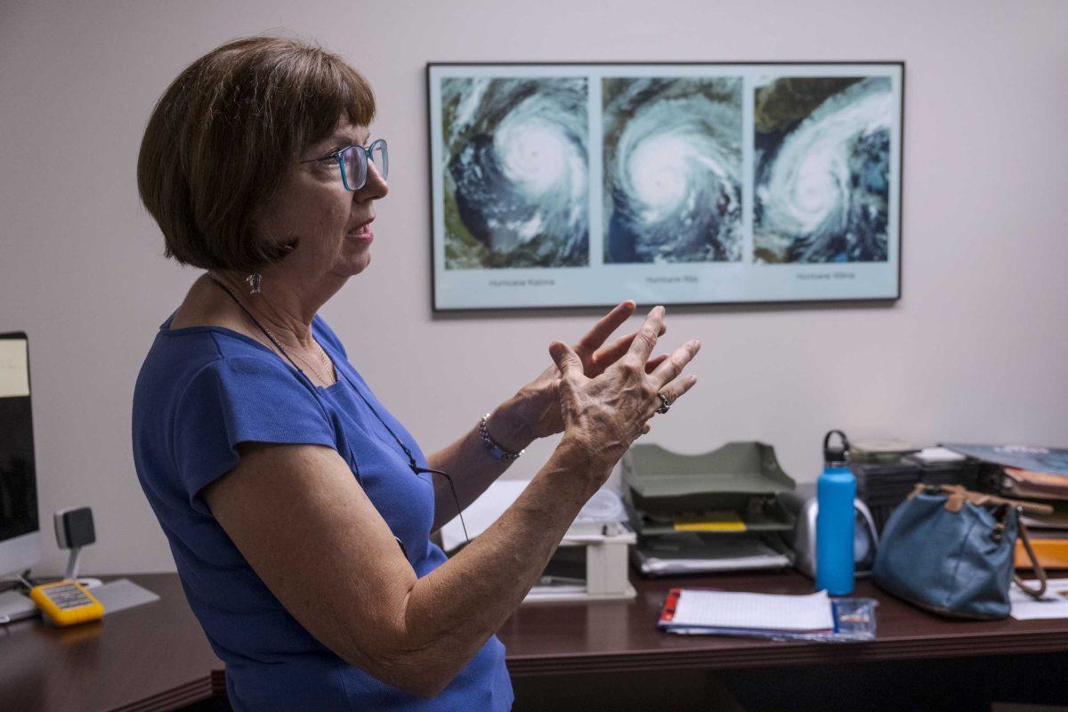
The Earth Scan Lab was founded by the late Oscar K. Huh in 1988 in collaboration with the Coastal Studies Institute. Following Huh’s retirement in 2003, Oceanography and Coastal Sciences Professor Nan Walker assumed the position of the Earth Scan Lab’s director, which she still holds today.
Walker has been involved with the Earth Scan Lab since its creation, so she clearly remembers its humble beginnings.
“When the lab was first founded, we only had one computer and one monitor,” Walker said. “Everyone had to huddle around it.”
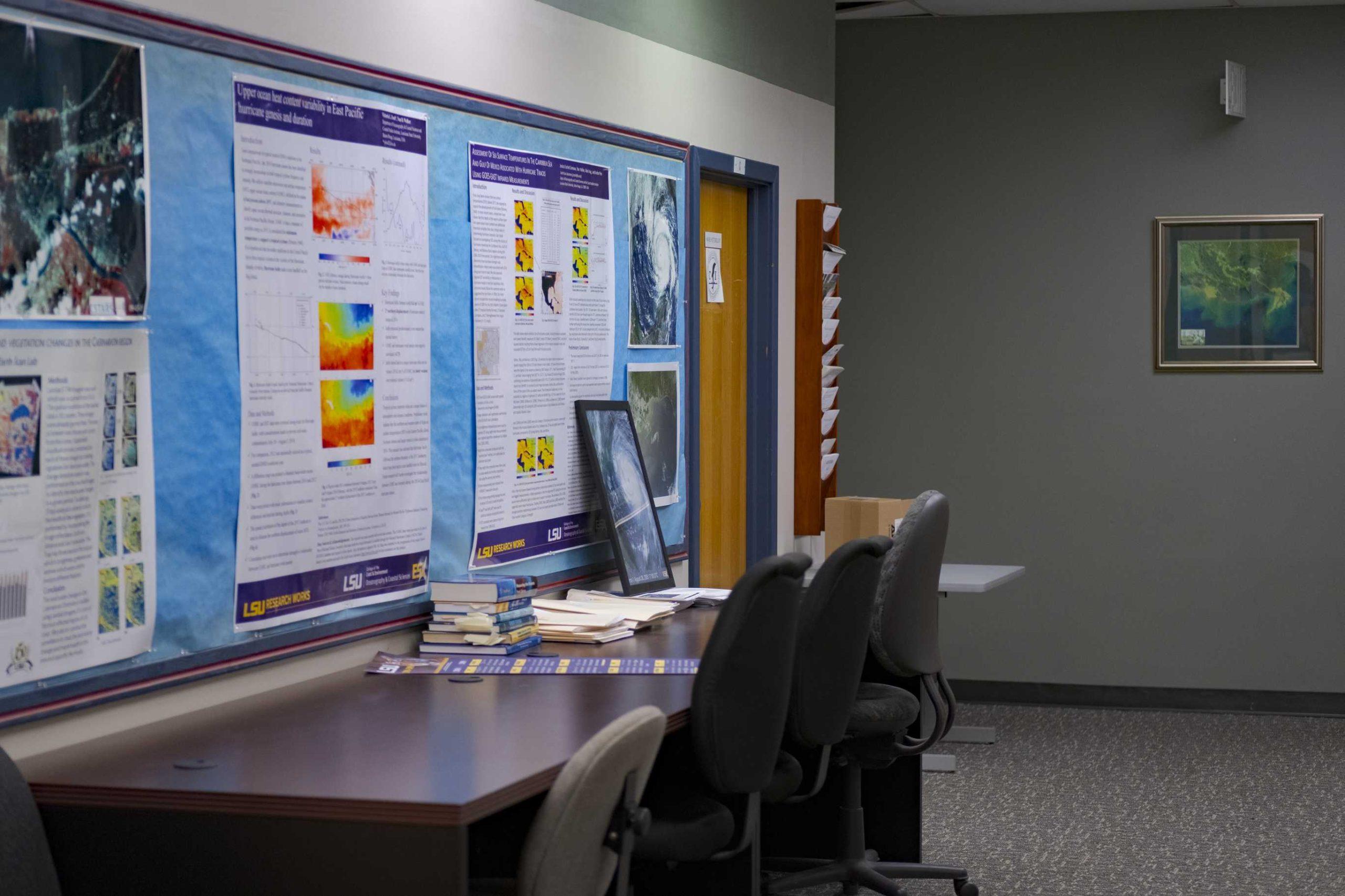
Since then, the lab has morphed into a lean, mean satellite data recording machine. With vibrant satellite images adorning the walls, it’s hard to not fix your gaze on the swirly hurricane images and multicolored waters.
The lab collects satellite data on hurricanes, ocean currents and other weather patterns, but the lab’s focus doesn’t remain constant, according to Walker.
“The purpose of the lab has changed overtime,” Walker said. “If there’s a flood in the Mississippi River, then we’re tracking the river and the flood. If there’s an oil spill, we’re tracking the oil spill.”
Recently, the lab was tracking Hurricane Dorian and its destructive rampage through the Bahamas. With the satellite imagery, they were able to better understand the path of the storm and its potential impact on certain areas.
The lab captures data from several satellites, including Terra-1 and Aqua-1 MODIS and Suomi NPP VIIRS. Walker described MODIS, the satellite the lab uses for a majority of their satellite imagery, as an “overachiever satellite.”
The Earth Scan Lab tracks current weather patterns, but also has years of environmental data available for research purposes.
“We have an over 30-year history of tracking hurricanes and tropical storms and looking at the effects of the ocean on those storms,” Walker said. “We also have created this archive of imagery from a lot of different satellites and products which are very useful for research. In addition to emergency response. Our products are useful for research and education.”
The lab’s website also has historic data readily available for use, along with real-time satellite data animations of current weather patterns. According to Walker, the lab has been at the forefront of creating products and uploading them onto their website for years.
Walker said students will often visit the lab for help with finding specific images or researching a particular storm or weather pattern.
“The students are using it more and more, and the faculty are using the resources for teaching, not only oceanography but also geography and engineering,” Walker said. “Of course this makes me happy.”
Lean, mean, satellite data collecting machine: LSU Earth Scan lab provides vital weather research tool
September 9, 2019
LSU Earth Scan Laboratory Director Dr. Nan Walker discusses her work on Wednesday, Sept. 4, 2019, in the Earth Scan Laboratory.


