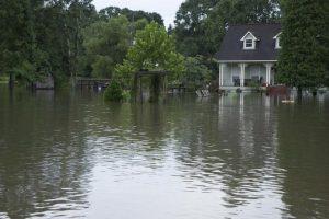
The University, as well as the rest of Louisiana, has undergone its share of bad weather. Hurricanes and flooding have had disastrous effects on South Louisiana and the entire Gulf Region.
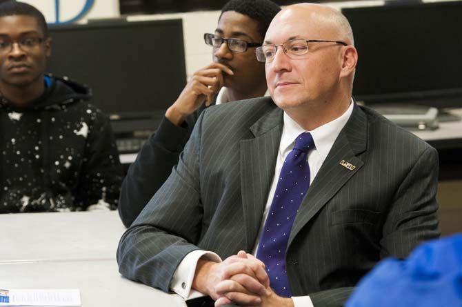
LSU Civil and Environmental Engineering professor Scott C. Hagen has devoted his studies to the impact of runoff water and hurricanes on cities in Louisiana and how it affects Louisiana’s coastlines. Hagen works in conjunction with LSU professors Matthew Bilskie, Madeline Foster-Martinez and Karim Alizad and graduate students Shu Gao, Chris Siverd, Felix Santiago and William Lauve.
Hagen develops models that predict how water is going to move based on where a hurricane is going and what kind of force winds it has. Then, he’d be able to create a simulation that shows what the flooding would be.
“All my career, for the last 25 years, I’ve been developing the capability to do hurricane storm surge modeling,” Hagen said. “My team members and I have been studying the entire Gulf of Mexico and the entire East Coast of the United States for a couple of decades now.”
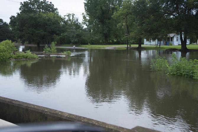
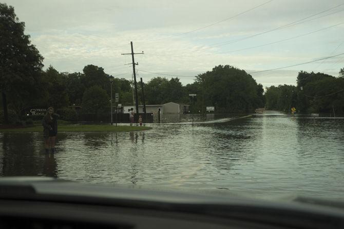
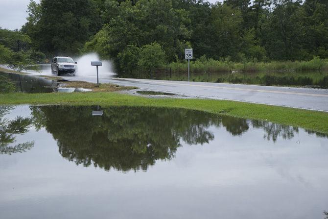
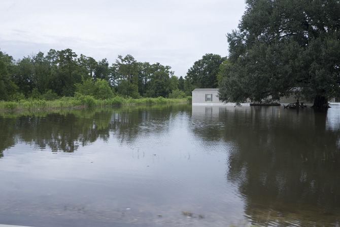
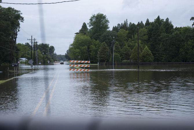
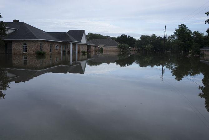
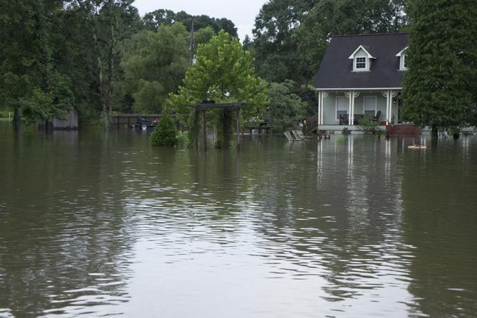
In 2016, Louisiana experienced record flooding in inland areas. East Baton Rouge and surrounding parishes received around 25 inches of rainfall over a three-day period, resulting in tens of thousands of homes flooded and 13 lives lost.
At that time, tropical storm Hermine was in the Gulf of Mexico with the potential to develop into a hurricane.
“We were asked by the Coastal Protection and Restoration Authority what would happen if that turned into a hurricane,” Hagen said. “We had a hurricane storm surge that came in on top of all of this rainfall flooding. So, that really inspired us to be looking at this kind of study.”
From the 1970s, there has been a rise to the loss of the coastlines and marsh areas. All indications are that it is not going to decrease.
Flooding in coastal Louisiana causes most people’s instincts to edge towards hurricanes and storm surge, with water being pushed over the shore and land areas by hurricane force winds. This is a very common threat.
“We have to be really concerned about [hurricane-force winds] to develop our capability to analyze that kind of a threat to understand the probabilities of what that kind of flooding’s happening,” Hagen said. “But what we also now recognize, and have more so in the recent past, is that when you have a lot of rainfall and a lot of hurricane, you can have worse flooding rather than having one or just the other.”
“The transition zone that we define is that zone where both rainfall and runoff and overland flooding is combining with the hurricane storm surge,” Hagen said. “It’s more of an overlap area. We want to understand how those two interact. We have to study them together as they occur in nature, instead of separate entities.”
“If we’re capable of describing that transition of flood zone, then in the future what we hope is to be able to describe transitional flood risk,” Hagen said. “That’s very beneficial whenever it comes to city planners in terms of knowing where you have a higher risk of flooding, due to the combined effects, as to where you might have a lower risk of flooding, where we’d want to build our homes.”
Historically, hurricane season begins June 1, but it made an early appearance in May with Subtropical Storm Alberto.
Hagen would like to acknowledge that the work he does is in collaboration with many people, since his work is a team effort.
LSU professor studies hurricanes, floods to predict future storm surges
June 26, 2018
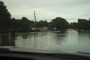
A bridge and road on Aug. 13, 2016 as they are overcome by rising water levels in Ascension Parish.
More to Discover


